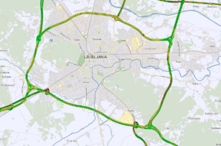
In our location-based databases Monolit constantly maintains and processes geospatial data from many different fields. One of the most extensive fields is maintaining the road-network database for Slovenia. This process includes defining geometrical road axis, categorization of roads, applying traffic restrictions, assigning truck attributes, and other labelling for the purpose of map navigation. We use many different sources for this process, in addition Monolit also performs regular road-network scanning.
Besides the road-network and connected geospatial layers, we also collect and organize a variety of specialized layers that serve as a base for the purpose of supporting mobile and web solutions developed for our projects and our clients. These include an outdoor activities layer for Monolit2go platform, electrical grid layer, points of interest, etc. A big part of what we do here at Monolit is also the preparation of the facility and business facility layers.
Maintaining an up-to-date geospatial database is a challenging task, not only because the real world is constantly changing, but also because this huge amount of data must be properly processed, organized, and stored. We at Monolit realize this challenge and have therefore dedicated a lot of effort to build location-based databases of the highest quality upon which we can establish innovative solutions.


