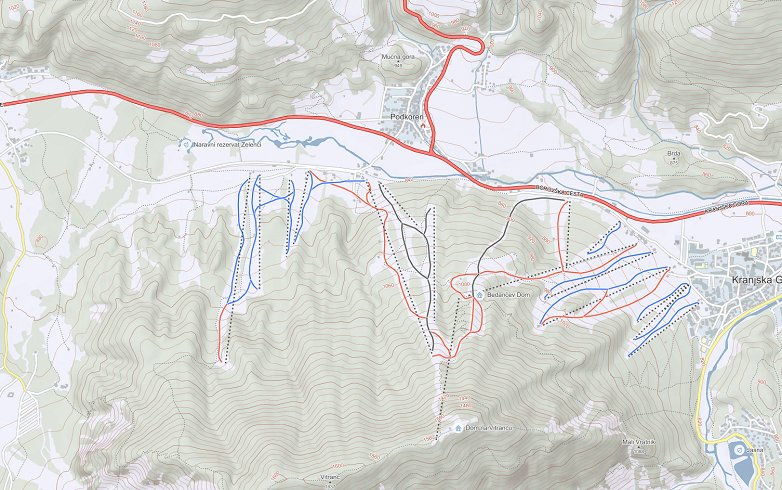
The maps platform is meant for companies with scattered locations of assets, construction companies, investors, distributors, and all those companies that need a quick access to up-to-date location-based data due to the size and nature of their activities.
Maps can be used for all kinds of purposes:
- Data integration with websites,
- As a base for geographical analysis and studies,
- For logistical support,
- As a base for route calculation and optimizations,
- For developing and printing,
- to use in localization services,
- For navigational use on mobile, web, and other navigational devices,
- For outdoor activities planning and usage.
The collection and maintenance of mapping data is based on the collection of satellite data, data from regular terrain checks and vehicle tracking, and various other crowdsource techniques. Data is constantly collected, updated, and corrections are made on a daily basis. As a company we strive to have the most up-to-date location-based databases that are of the highest quality, which allow us to provide clients with quality solutions.
The connectivity of platform also allows us to collect and processes location-based data specific to a client’s request.


